Make better decisions with Precision Agriculture

Cotton | Corn | Rice

Cut fertilizer costs by 20%*
Boost yields with data-driven insights.
See exactly what your crops need,
before the naked eye can.

Schedule Your Free 50-Acre Demo

Densmore Drone Services | Serving the farmers of Southeast Texas

The Math Makes Sense

*According to research by Purdue University, precision application guided by multispectral imaging saves on average 20% on fertilizer costs.

$5

Per Acre Investment

$10-$20

Typical Per Acre Savings

Multispectral NDVI Map

Cut costs

Use less fertilizer, growth regulator, and defoliant.
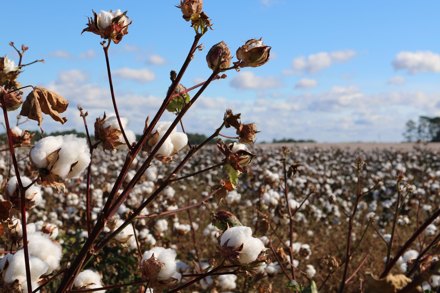
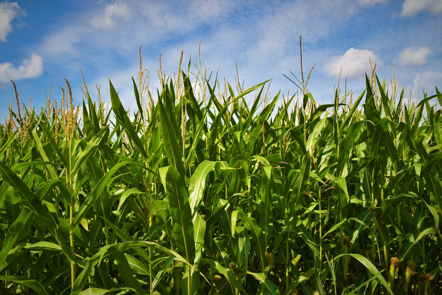
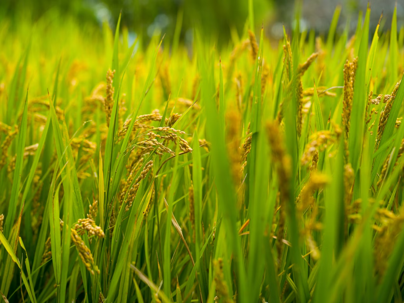
Protect your yields

Find pests and fungus sooner.

Don't apply growth regulator on plants that don't need it.

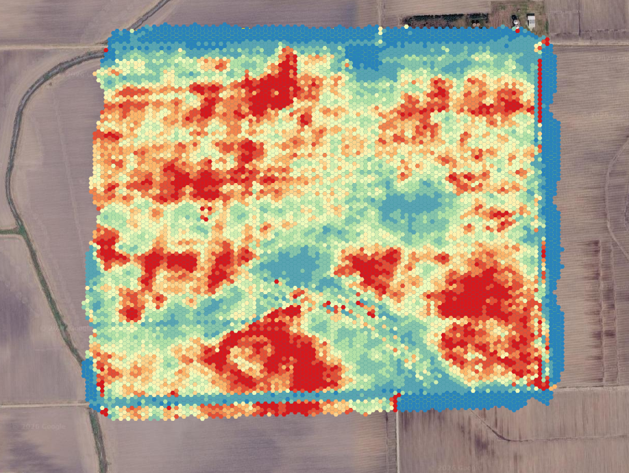
Make More Informed Decisions

When it's time to make important decisions about your crops, don't you want the best information?

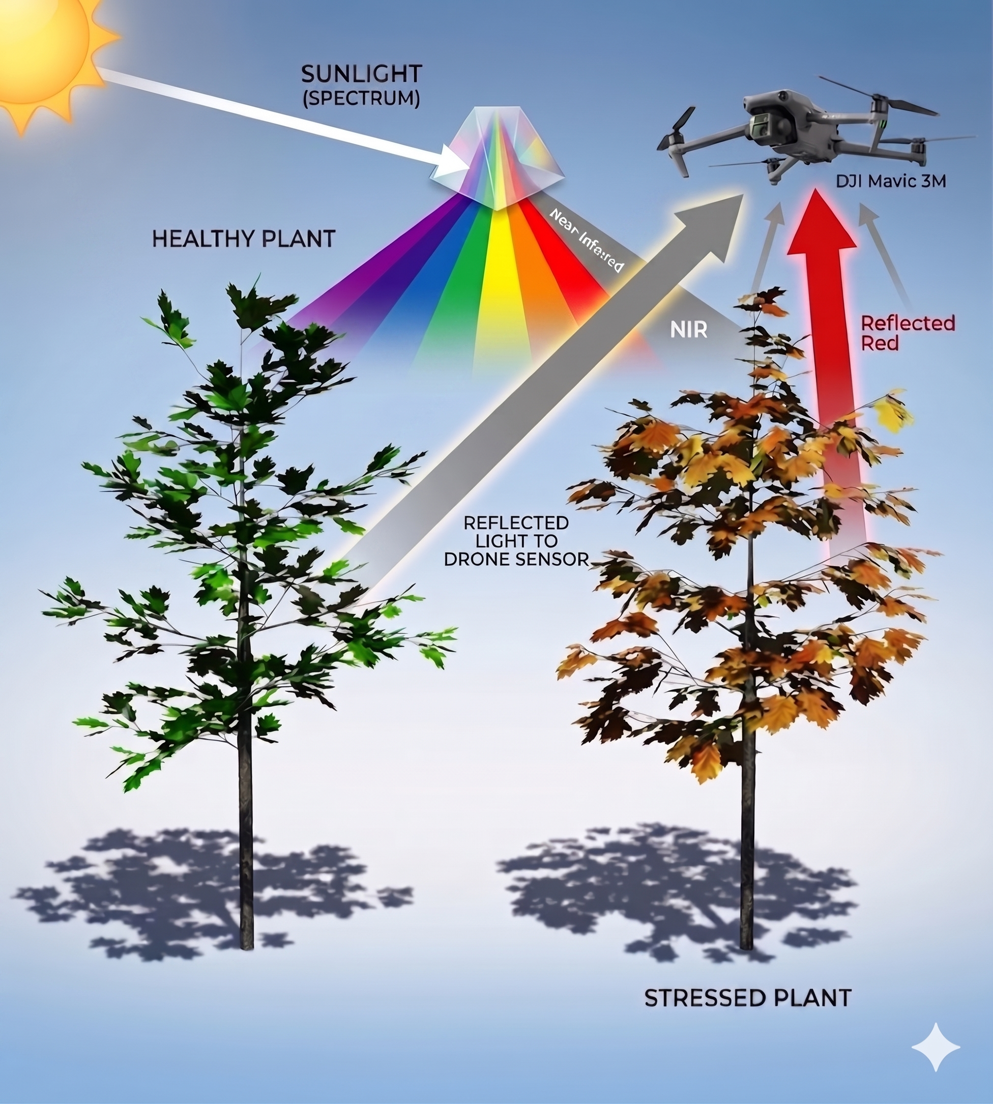
The human eye can only see plant stress that is already visible. We utilize enterprise-grade DJI Mavic 3 Multispectral to capture Near-Infrared (NIR) light to show you plant stress that isn't yet visible.

Healthy crops reflect high amounts of NIR and strongly absorb red light. By capturing these specific bands, we generate highly accurate vegetation index maps (such as NDVI) that highlight plant stress, nutrient deficiencies, and irrigation issues weeks before they become visible to the human eye.

You can import our maps to your Variable-Rate Application (VRA) sprayers.

How can I use this information?

Cotton Field

Cotton

  • Precisely apply fertilizer and growth regulator to manage plant vigor.
  • Time your defoliant based on crop maturity maps, not guesswork.
Corn Field

Corn

  • Detect nitrogen deficiencies for targeted mid-season fertilizer applications to maximize your yields.
  • Quickly scout and identify and areas showing early signs of stress from pests.
Rice Field

Rice

  • Closely monitor canopy density to prevent overgrowth, which can lead to lodging and disease.
  • Track uniform growth and manage water levels for maximum harvest efficiency.

Claim Your Free 50-Acre Demonstration

No strings attached. Let the data speak for itself.

How does it work?

Healthy plant structures strongly reflect Near-Infrared (NIR) light, while the plant's chlorophyll absorbs almost all red light for photosynthesis.

In a healthy crop, there is a massive difference between the high levels of reflected NIR and the low levels of reflected red light. However, as a plant becomes stressed, its cellular structure degrades (reflecting less NIR) and its chlorophyll breaks down (reflecting more red light).

Because humans cannot see NIR light, we cannot detect this shrinking difference until the plant is already visibly yellowing and dying. Our drone sensors capture this invisible data, allowing you to intervene weeks earlier.

NASA has been using multispectral imaging and vegetation indices for decades. We are bringing this enterprise-level technology directly to your farm.

How NDVI works