HomeLiDAR SurveysThermal InspectionPhotogrammetryAerial InspectionMultispectral / AgVideography (281) 799-3259 Free Demo
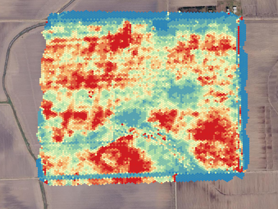
Multispectral NDVI drone map cotton field Southeast Texas
Precision Agriculture • Southeast Texas Farmers

Make Better Decisions with Multispectral Mapping

See exactly what your crops need — before the naked eye can. Cut fertilizer costs by up to 20%* and boost yields with data-driven precision.

~$5
Per Acre Investment
$10–$20
Typical Per Acre Savings*
FREE
50-Acre Demo Available
NDVI multispectral map of cotton field

Cut Costs. Protect Your Yields.

Use less fertilizer, growth regulator, and defoliant by applying only where crops actually need it.

Find pests, fungus, and irrigation issues weeks before they become visible — and before they cost you.

When it's time to make important decisions about your crops, don't you want the best information available?

We use enterprise-grade DJI Mavic 3 Multispectral to capture Near-Infrared (NIR) light — showing you plant stress that the human eye simply cannot see. Our NDVI maps highlight nutrient deficiencies, irrigation gaps, and pest pressure early enough to act on them.

Maps can be imported directly into your Variable-Rate Application (VRA) sprayers.

*According to Purdue University research, precision application guided by multispectral imaging saves an average of 20% on fertilizer costs.
The Brains, Not The Tank

Make Your Spray Operations ~20% More Cost-Efficient

Own a DJI Agras, spray drone, or tractor VRA rig? We don't spray chemicals — we provide the high-resolution prescription data that tells your equipment exactly where to apply and where to shut off.

100% Independent & Neutral

We specialize strictly in precision scouting and aerial data under FAA Part 107. We do not sell chemicals, fertilizer, or spray services. Because we have no chemical inventory to move, our recommendations are completely unbiased — designed exclusively to help you buy and apply less product.

Plug-and-Play VRA Shapefiles

We process multi-band Near-Infrared (NIR) and Red-Edge data into actionable zonation maps. We export directly to Shapefiles (.shp) and ISO-XML ready to load via USB or wireless sync into DJI Agras (T30/T40/T50) smart controllers, John Deere Gen 4, Raven, and Trimble displays.

Partners With Custom Applicators

Work with a custom commercial spray contractor? We can scout your acreage 24–48 hours ahead of their application schedule and hand the prescription map directly to their pilots or drivers. Your contractor gets an optimized mission route, and you avoid paying for unnecessary chemical broadcast.

Crops We Map

Specific applications for the crops grown across Southeast Texas.
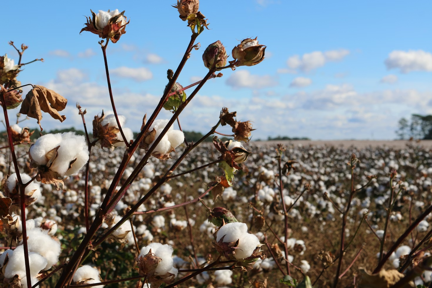
Cotton field multispectral mapping

Cotton

  • Precisely apply fertilizer and growth regulator to manage plant vigor
  • Time your defoliant based on maturity maps, not guesswork
  • Identify early boll weevil pressure zones
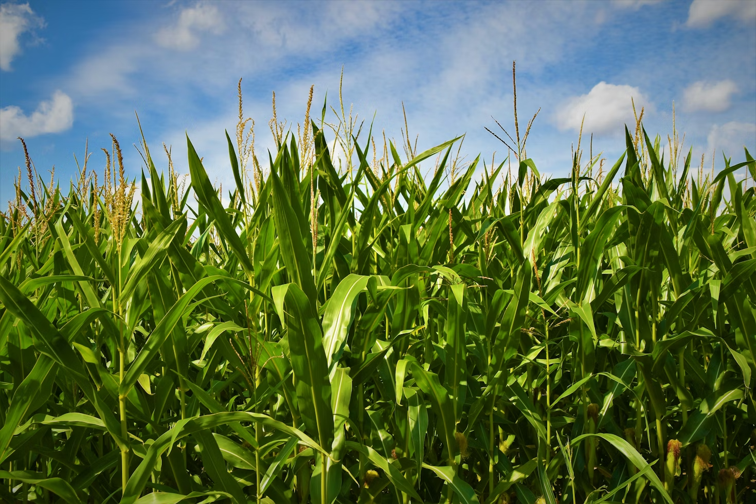
Corn field NDVI mapping

Corn

  • Detect nitrogen deficiencies for targeted mid-season applications
  • Scout and identify areas showing early stress from pests
  • Monitor emergence uniformity and stand count
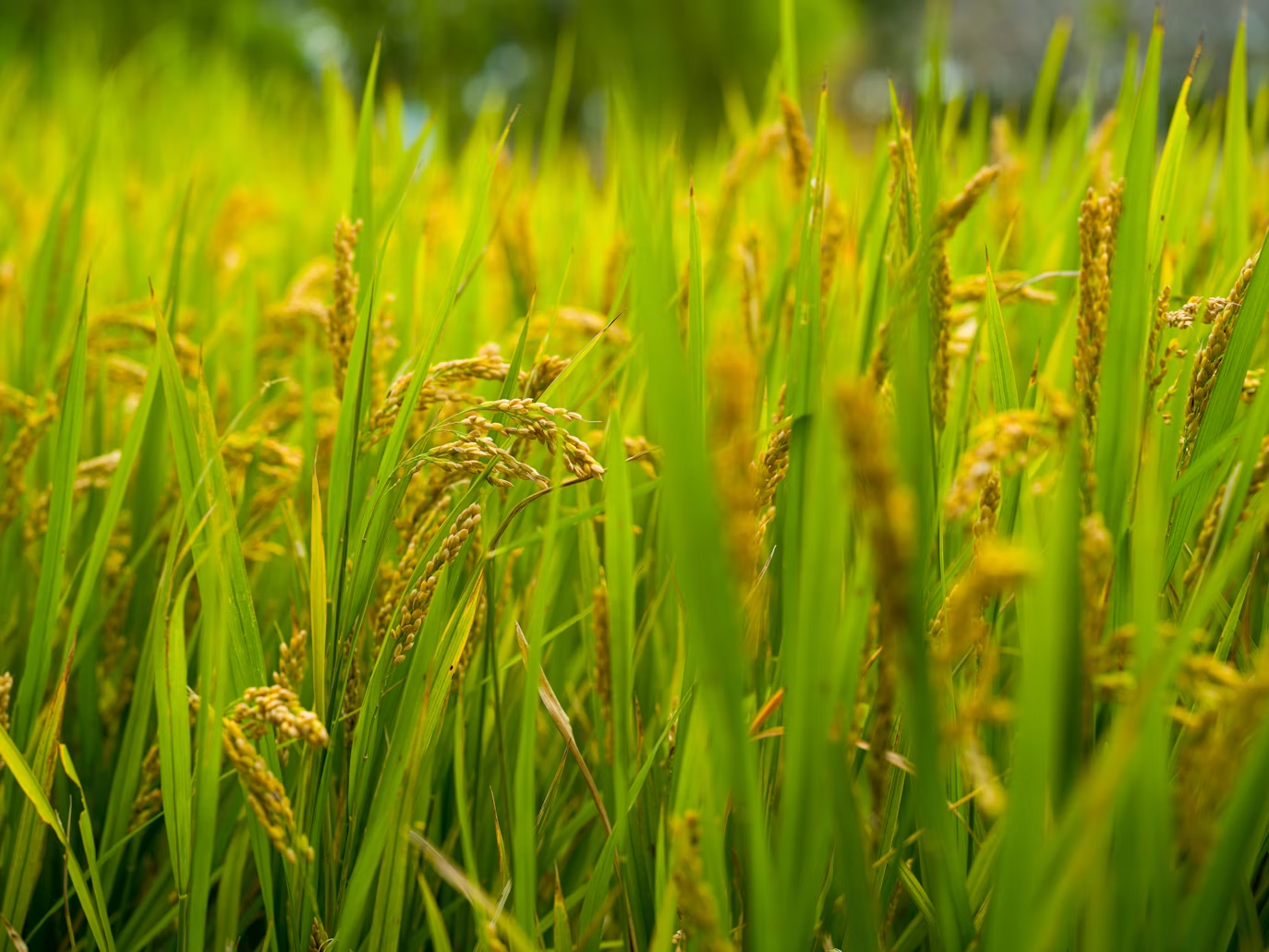
Rice field drone mapping

Rice

  • Monitor canopy density to prevent overgrowth and lodging
  • Track uniform growth and manage water levels
  • Identify disease and blast pressure zones early
Need thermal mapping for your fields? Radiometric thermal is a separate sensor from multispectral — and may require different pricing depending on the scope. Contact us for a custom quote →

How Does Multispectral Mapping Work?

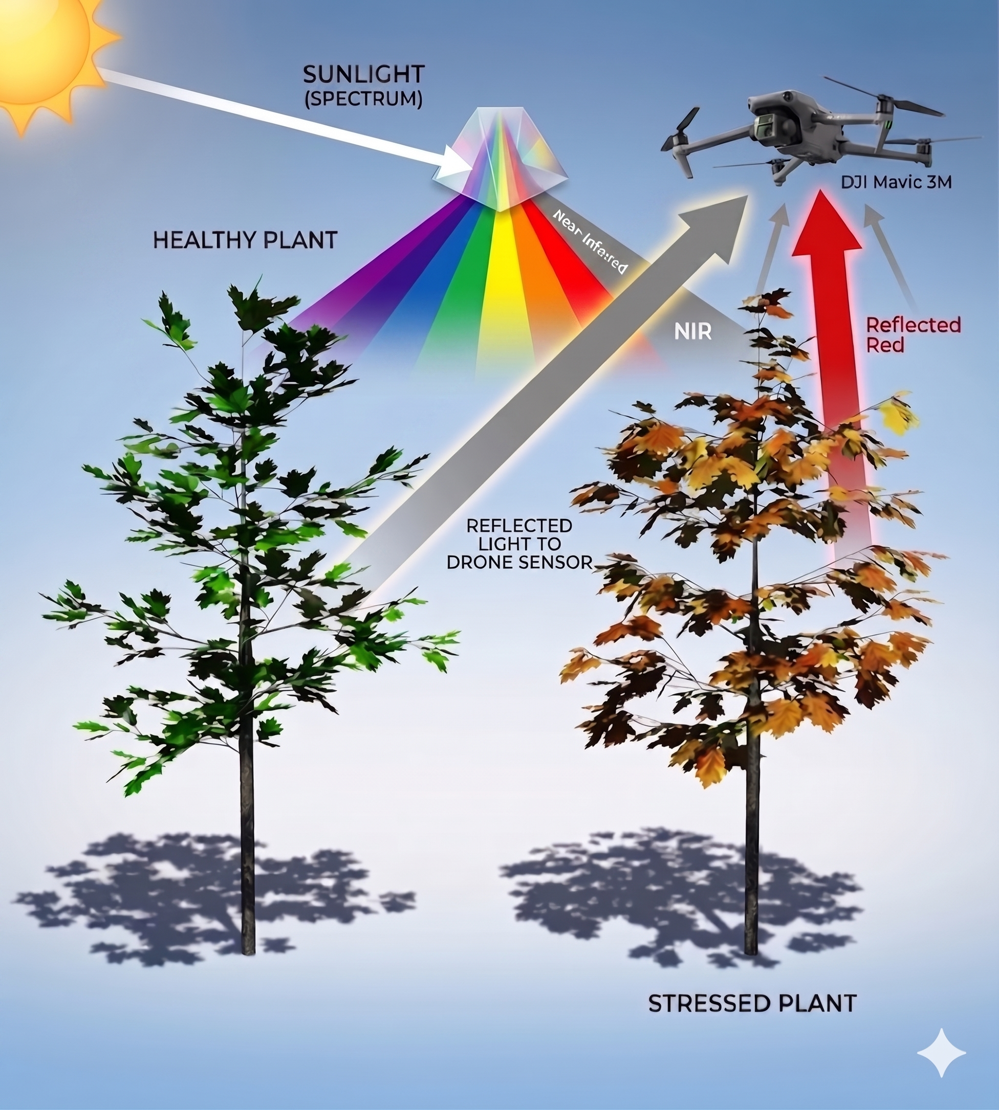
Healthy plants strongly reflect Near-Infrared (NIR) light, while chlorophyll absorbs almost all red light for photosynthesis.

In a healthy crop, there is a massive difference between high NIR reflection and low red reflection. As a plant becomes stressed, its cellular structure degrades (reflecting less NIR) and chlorophyll breaks down (reflecting more red).

Because humans cannot see NIR light, we can't detect this shrinking difference until the plant is already visibly yellowing. Our drone sensors capture this invisible data — allowing you to intervene weeks earlier.
NASA has used multispectral imaging and vegetation indices for decades. We bring this enterprise-level technology directly to your farm.
How NDVI multispectral imaging works

Multispectral Mapping FAQ

What is NDVI and why does it matter?+
NDVI (Normalized Difference Vegetation Index) measures the ratio of near-infrared light reflected by plants versus red light absorbed for photosynthesis. Healthy plants reflect high NIR and absorb red. As a plant becomes stressed, this ratio shifts — producing a stress map across your entire field, weeks before visible yellowing appears.
How much does the free demonstration cover?+
The free demo covers up to 50 contiguous acres at your farm. We fly the field, process the data, and deliver a full NDVI map at no charge — so you can see exactly what the technology shows before committing to a paid survey. No strings attached.
Can I import your maps into my VRA sprayer or spray drone?+
Yes. We deliver georeferenced GeoTIFF files and Variable-Rate Application (VRA) prescription shapefiles (.shp) compatible with DJI Agras spray drones (T30, T40, T50), John Deere Gen 4, Raven, and Trimble displays.
Do you provide chemical or fertilizer spraying services?+
No. We specialize strictly in precision scouting, multispectral imaging, and prescription mapping under FAA Part 107. We do not sell chemicals and we do not spray. We are independent data specialists — our sole mission is providing you or your custom applicator with the exact prescription maps needed to save up to 20% on chemical inputs without any conflict of interest.
What crops do you map?+
We map cotton, corn, rice, sorghum, hay, soybeans, and other row crops. The vegetation indices we generate (NDVI, NDRE, GNDVI) are crop-agnostic — if it grows, we can map it. Contact us for crops not listed here.

Claim Your Free 50-Acre Demonstration

No strings attached. Let the data speak for itself. Fill out the form below and we'll schedule your free demo flight.